Haiku Evolution
Integration with maps.ox.ac.uk
accepted
2

Flagged site locations using Oxford Maps website
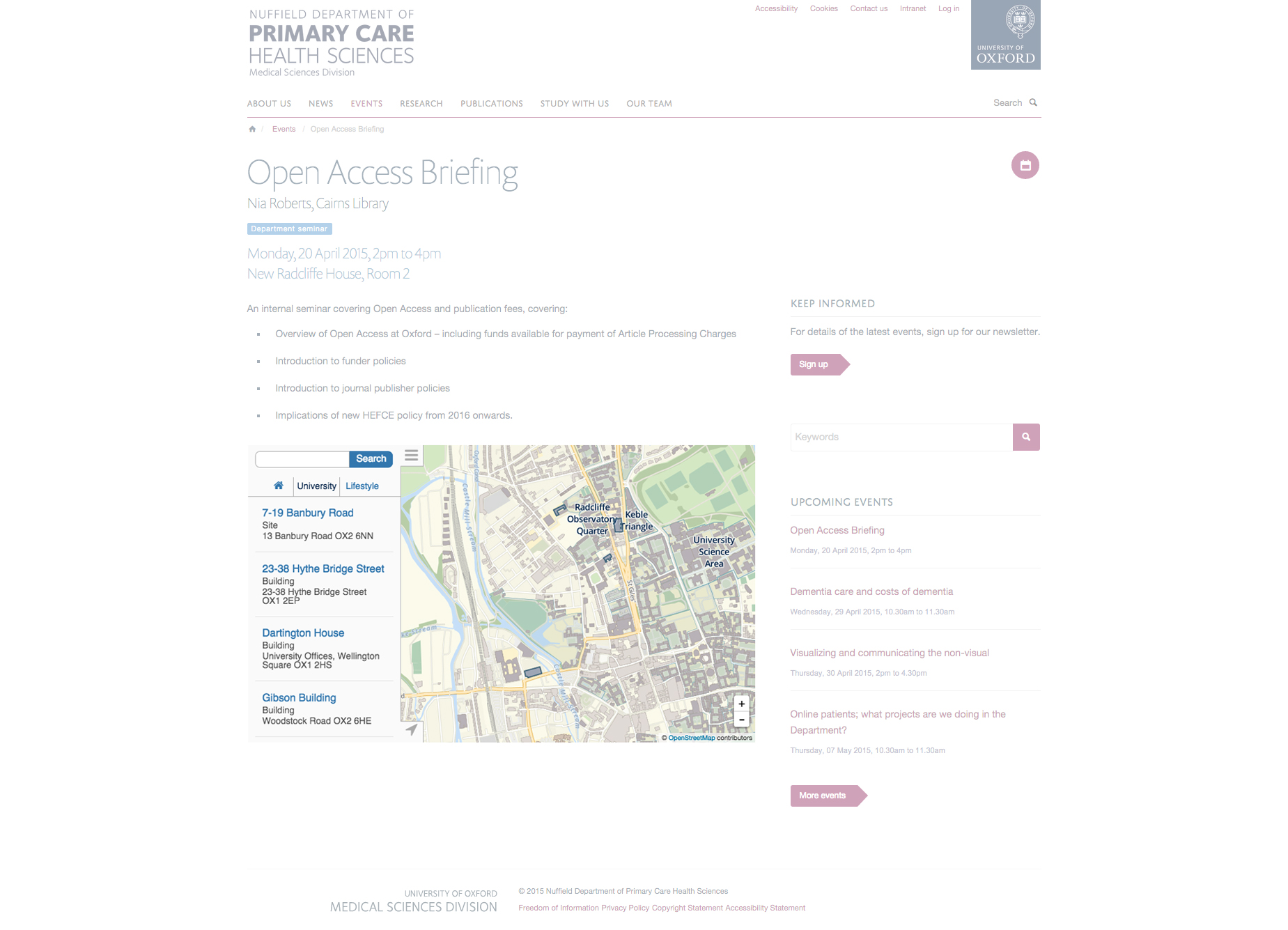
Proposal
Sites to be able to embed their flagged location using www.maps.ox.ac.uk on webpages and the 'event' content type
Stories
As an Editor, I can go to the edit form of an event in the website (or when creating new one), and enter map URL (e.g.: http://maps.ox.ac.uk/#/places/oxpoints:23232423) of a particular place(s) taken from the university's internal maps service at http://maps.ox.ac.uk so that maps will be shown in the Event's detail page.
As an Editor I want to use both google maps address field and new Oxford maps so that I can decide which service to use to show place of an event in the Event's page.
As an Editor I want to see maps related fields in the Event's add/edit form in the separated tab called "Location" so that I can easily navigate to those fields.